|
| *****SWAAG_ID***** | 892 |
| Date Entered | 28/08/2015 |
| Updated on | 30/08/2015 |
| Recorded by | Tim Laurie |
| Category | Geographical Record |
| Record Type | General HER |
| SWAAG Site | Grinton Moor |
| Site Access | Public Access Land |
| Record Date | 21/08/2015 |
| Location | Satron High Walls |
| Civil Parish | Muker |
| Brit. National Grid | SD 945 968 |
| Altitude | 490m and above |
| Geology | For a full description of the complex faulted geological structures and extensive mining remains on Satron High Walls, see British Geological Survey: Geology of the North Pennine Orefield, Volume 2, Stainmore to Craven, Chapter 11. |
| Record Name | Orgate Scar and Satron High Walls. High Swaledale Landscapes and Mining Remains |
| Record Description | This record is a photographic note on the fine scenery enjoyed and the interesting mining remains visited during a recent walk by a small group of SWAAG members from Orgate Scar to Satron High Walls. The return to Orgate Gill crossed the strange lenticular chert hills on Satron Moor.
|
| Additional Notes | For further general details and images of Oxnop Scar,see previous SWAAG Database Record No 680.
For details of the relict woodland on Oxnop Scar, which includes aspen and juniper together with the associated vegetation see previous SWAAG Database Record No 350. The vegetation on the cliff edge includes ash and Blackthorn at their local altitudinal limit. |
| Image 1 ID | 6423 Click image to enlarge |
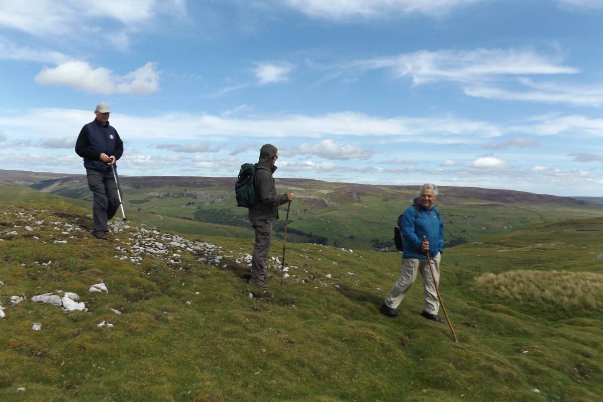
| Image 1 Description | Satron High Walls. The top of the world! | 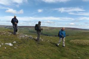 |
| Image 2 ID | 6424 Click image to enlarge |
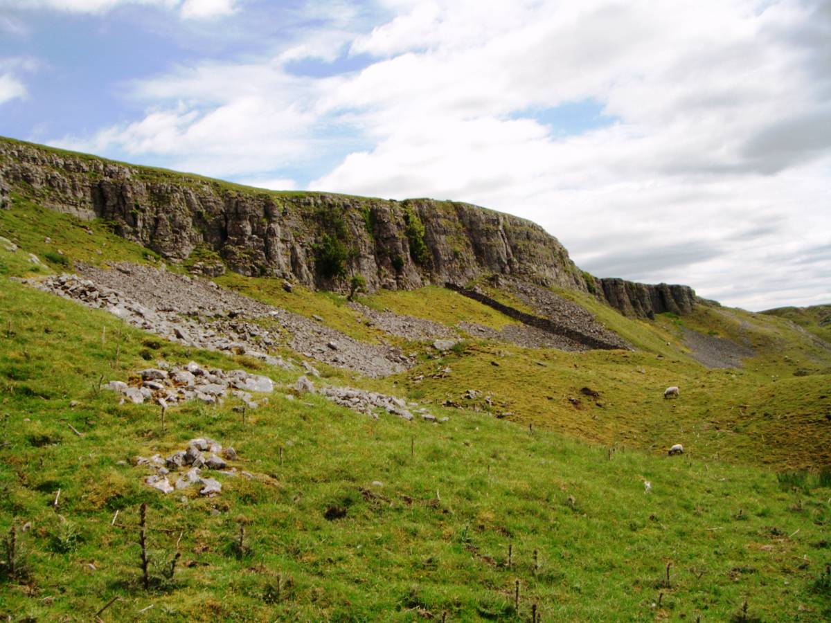
| Image 2 Description | The walk started from the unfenced road which runs along the top of Oxnop Scar, shown here from below the Scar. View Northward. | 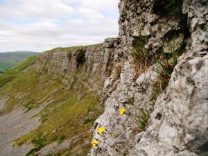 |
| Image 3 ID | 6434 Click image to enlarge |
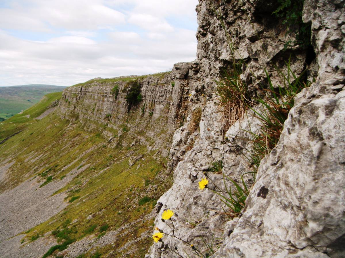
| Image 3 Description | Oxnop Scar viewed southward from below. |  |
| Image 4 ID | 6426 Click image to enlarge |
| Image 4 Description | Aspen Grove on Oxnop Scar. The prostrate juniper which grew with these aspens at the top edge of the Scar and photographed some years ago, see SWAAG Record No , is no longer visible. |  |
| Image 5 ID | 6427 Click image to enlarge |
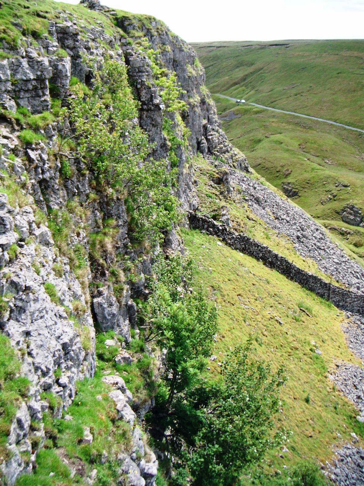
| Image 5 Description | View westward down Oxnop Gill from the unfenced road above Oxnop Scar. | 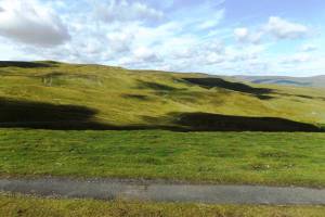 |
| Image 6 ID | 6428 Click image to enlarge |
| Image 6 Description | View northward down Oxnop Gill from the unfenced road above Oxnop Scar. | 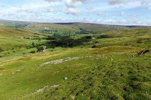 |
| Image 7 ID | 6429 Click image to enlarge |
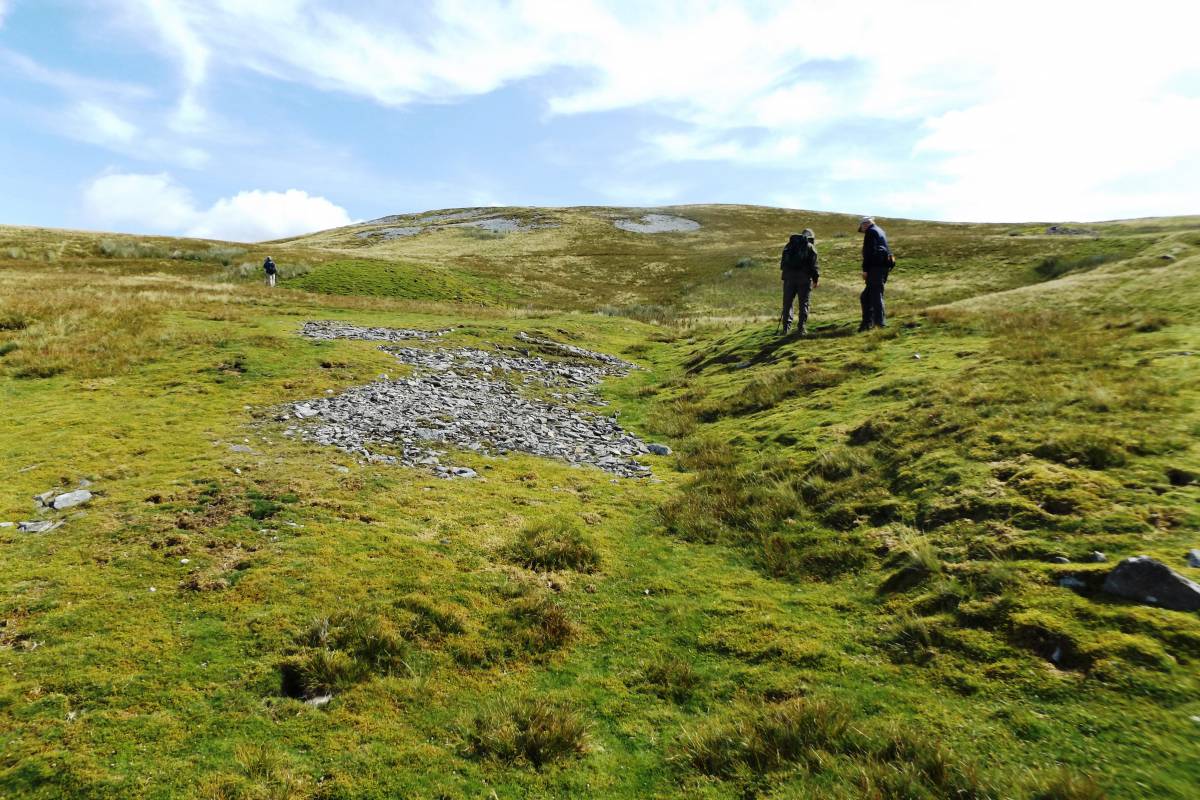
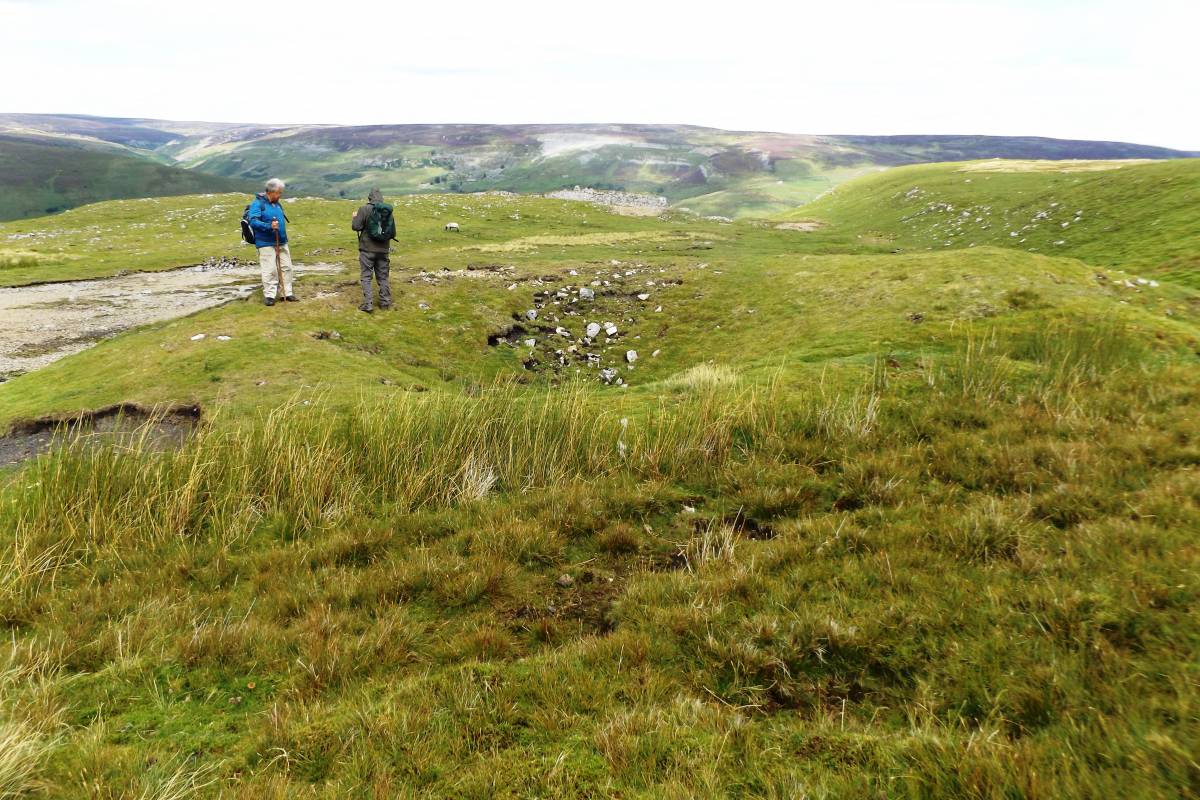
| Image 7 Description | Lower of two adjacent lead bale sites seen during the walk. | 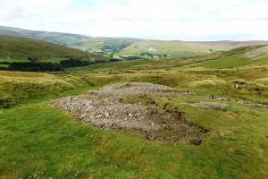 |
| Image 8 ID | 6430 Click image to enlarge |
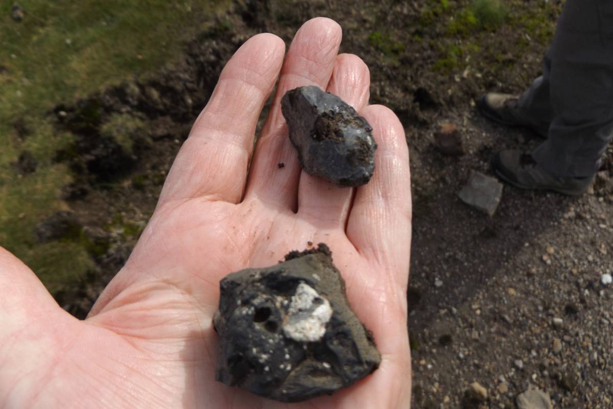
| Image 8 Description | Lead slag. Black glassy slag present here. |  |
| Image 9 ID | 6431 Click image to enlarge |
| Image 9 Description | John looks for indications that zinc mineral is present. | 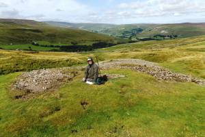 |
| Image 10 ID | 6432 Click image to enlarge |
| Image 10 Description | The upper of the two bale sites here. |  |
| Image 11 ID | 6436 Click image to enlarge |
| Image 11 Description | One of the frost shattered chert outcrops seen at the edge of the Moor during the walk. | 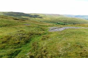 |
| Image 12 ID | 6438 Click image to enlarge |
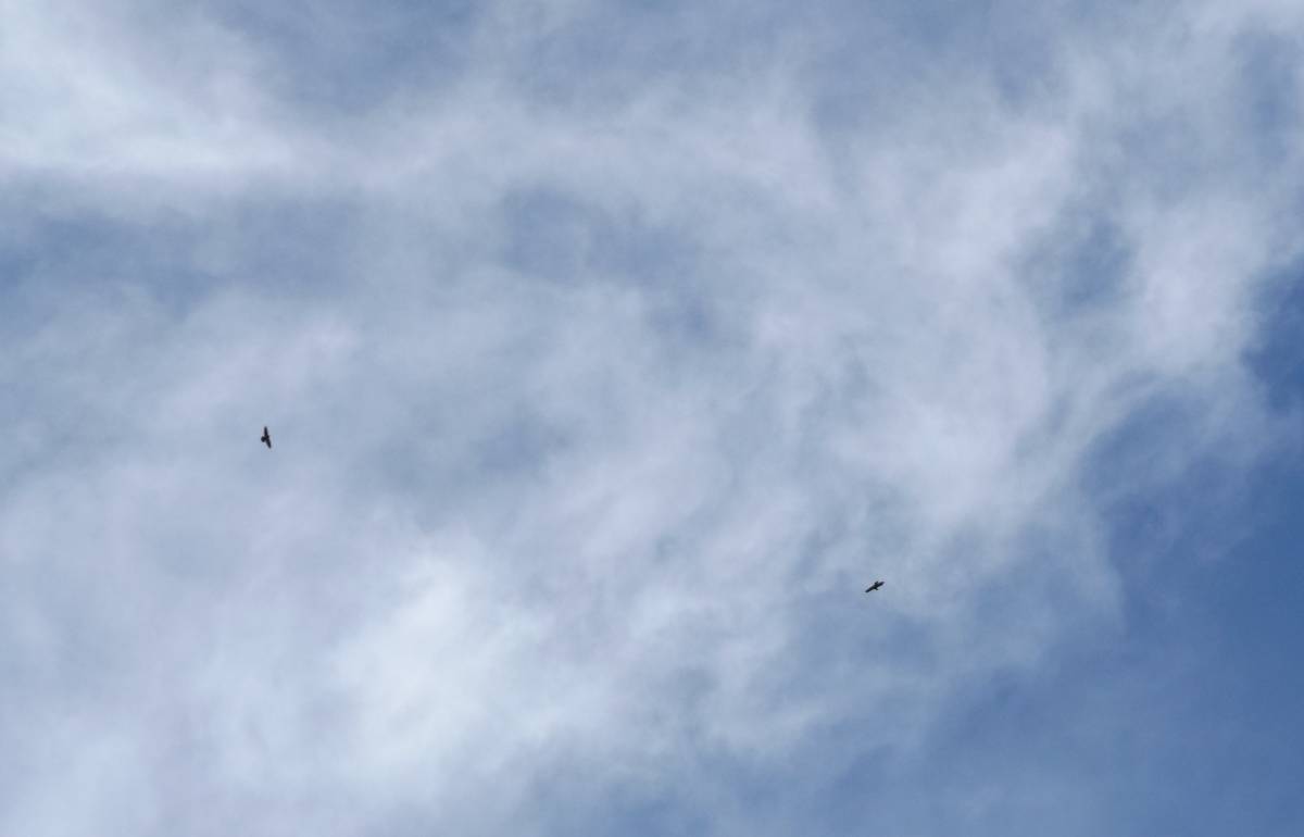
| Image 12 Description | Ravens! Two of the family group of five ravens seen during the walk. | 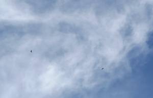 |
| Image 13 ID | 6439 Click image to enlarge |
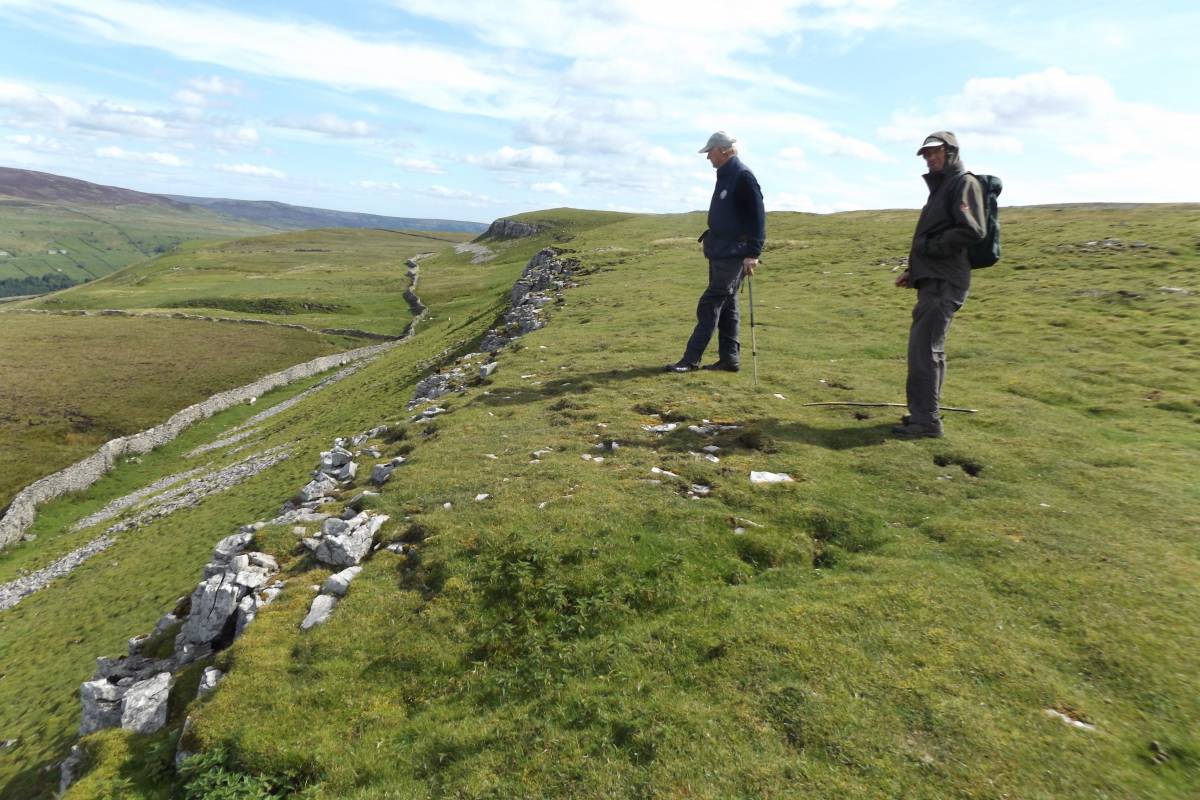
| Image 13 Description | Satron High Walls | 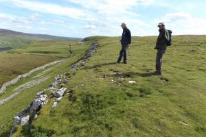 |
| Image 14 ID | 6440 Click image to enlarge |
| Image 14 Description | Satron Walls lead mine and hush. The line of this lead vein can be traced down slope to Low Walls | 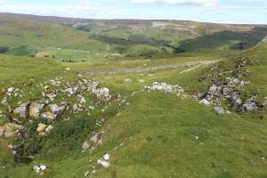 |
| Image 15 ID | 6441 Click image to enlarge |
| Image 15 Description | Satron Walls lead mine and hush. A mine with a view. | 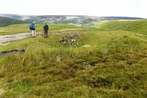 |
| Image 16 ID | 6443 Click image to enlarge |
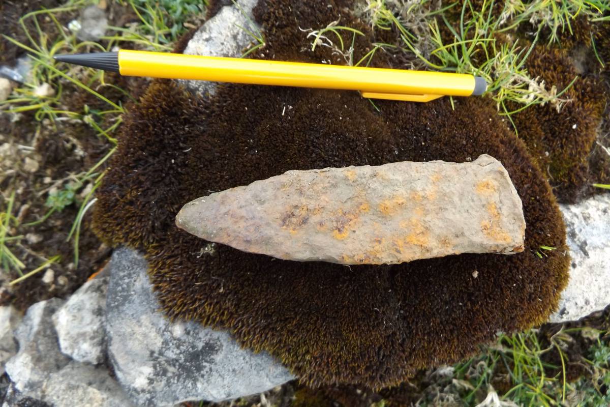
| Image 16 Description | Iron wedge. Visible evidence for early plug and feather mining here! | 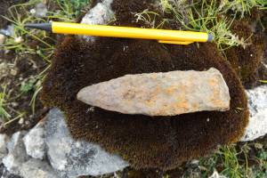 |
| Image 17 ID | 6447 Click image to enlarge |
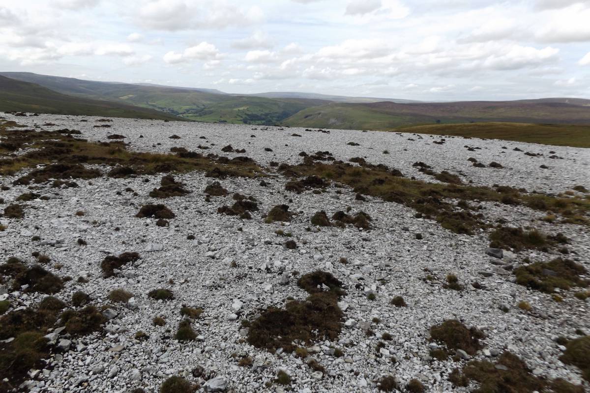
| Image 17 Description | Frost shattered and bleached chert surfaces once covered by blanket peat up to 1.0m thick form white isolated rounded hills a contrast to the brown sedge moorland. | 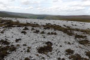 |
| Image 18 ID | 6448 Click image to enlarge |
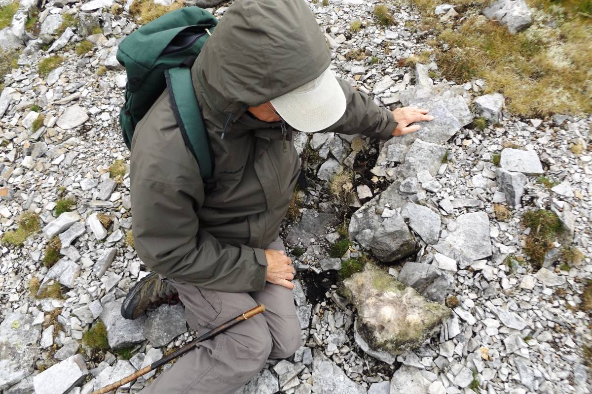
| Image 18 Description | John, as always examines the details of the exposed chert strata. | 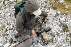 |
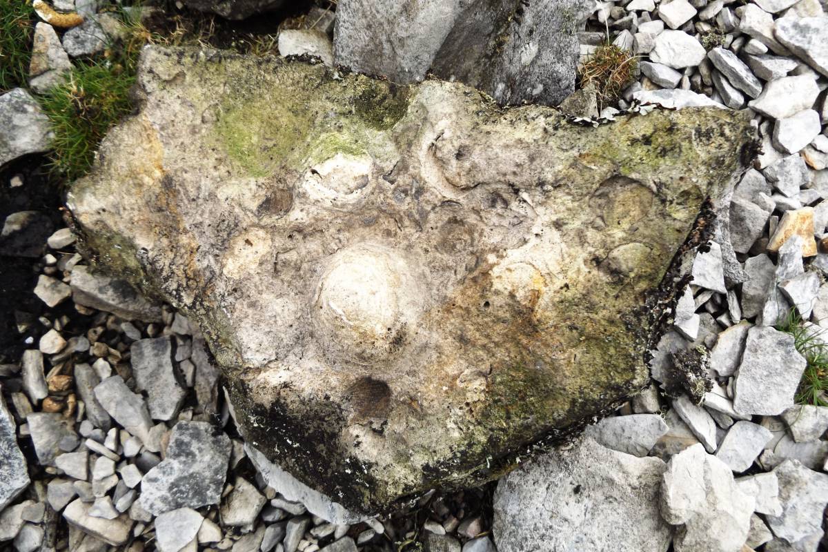
| Image 19 ID | 6449 Click image to enlarge |
| Image 19 Description | Here, the small lenticular algal fossil structures in the chert are reminiscent of stromatolites and very large oncolites. |  |
| Image 20 ID | 6450 Click image to enlarge |
| Image 20 Description | John examines the frost shattered surface of the chert which is exposed by erosion of the overlying blanket peat. | 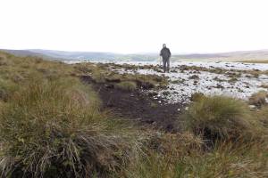 |
| Image 21 ID | 6451 Click image to enlarge |
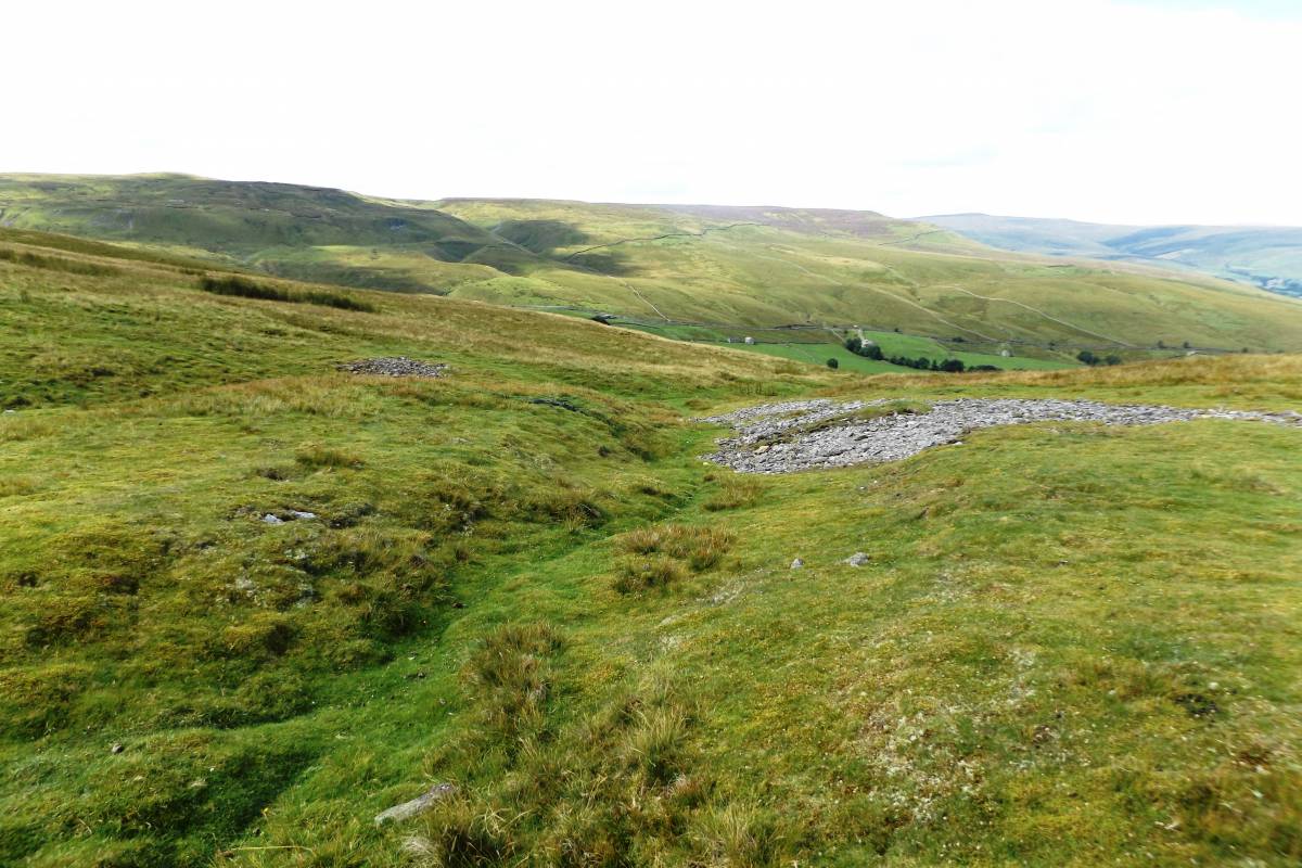
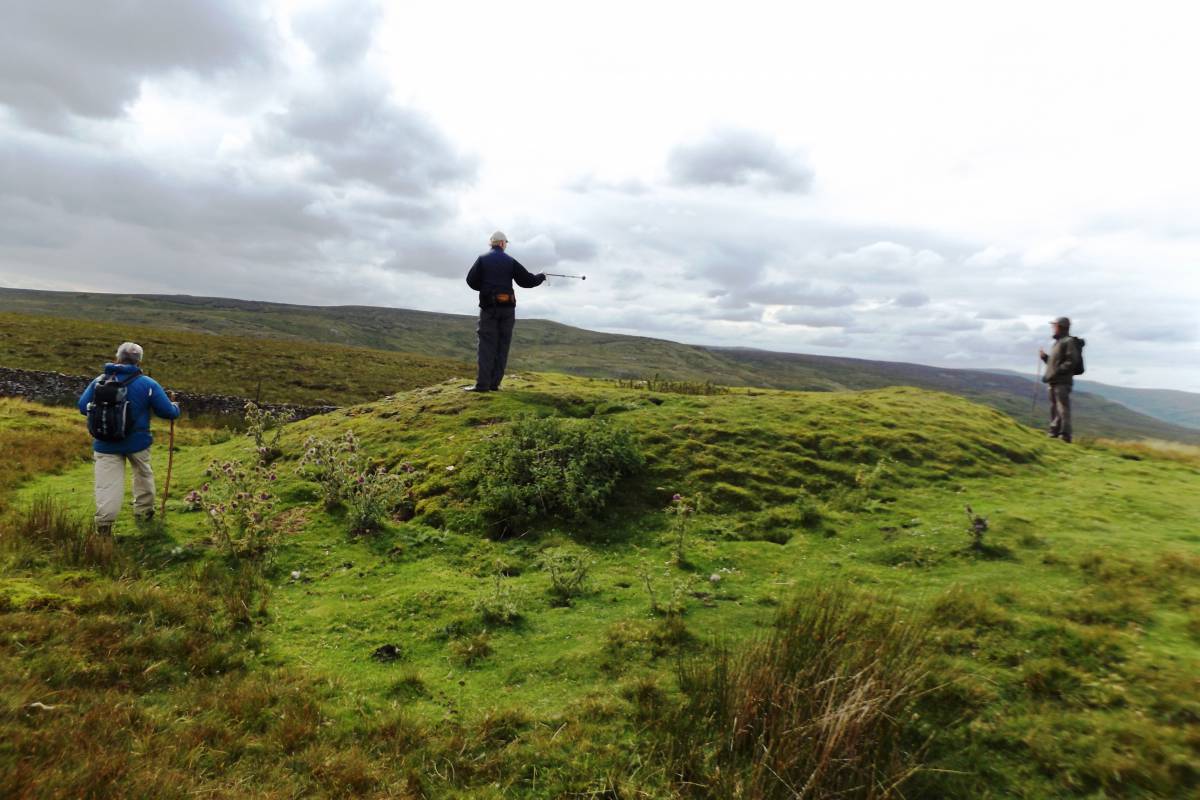
| Image 21 Description | Lead mine shaft mounds visited at the head of Stotter Gill during the return walk |  |
| Image 22 ID | 6435 Click image to enlarge |
| Image 22 Description | Lead mine shaft mounds at the head of Stotter Gill |  |
| Image 23 ID | 6452 Click image to enlarge |
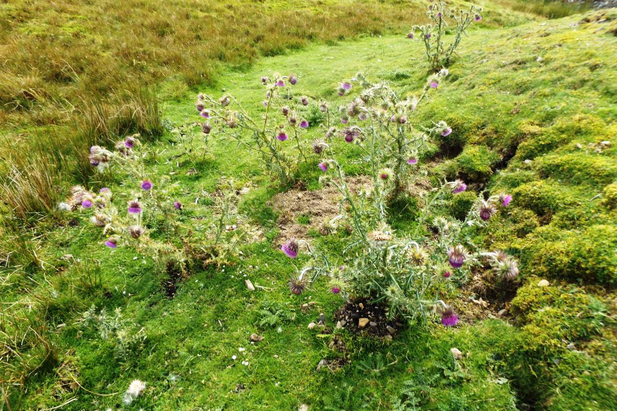
| Image 23 Description | A fine group of the well named, heavily scented Musk Thistle (Carduus nutans). |  |
| Image 24 ID | 6453 Click image to enlarge |
| Image 24 Description | Cedar Wax Cap. So named as when stored in a box, it is reputed to smell of aftershave, whatever that smells like. | 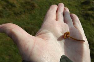 |